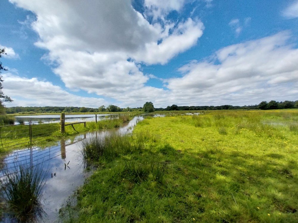
The River Thet flows for 36 km (about 22 miles) through the Breckland landscape, rising southeast of Attleborough and eventually joining the River Little Ouse at Thetford. The surrounding land is a mix of farming, grazing and forestry.
Historically, sections of the River Thet were straightened and widened to improve the surrounding farmland, leaving old, natural river bends (meanders) visible in the floodplain. This historic work, combined with the presence of weirs, restrict the natural flow and creates barriers for fish trying to move upstream.
These changes have reduced the river's ability to support diverse life. The channel is now too wide and lacks the natural flow patterns needed to store water effectively or provide high-quality habitat.
Pollution from agricultural run-off, land drains and sewage discharge is another key challenge affecting the river’s ecological condition.
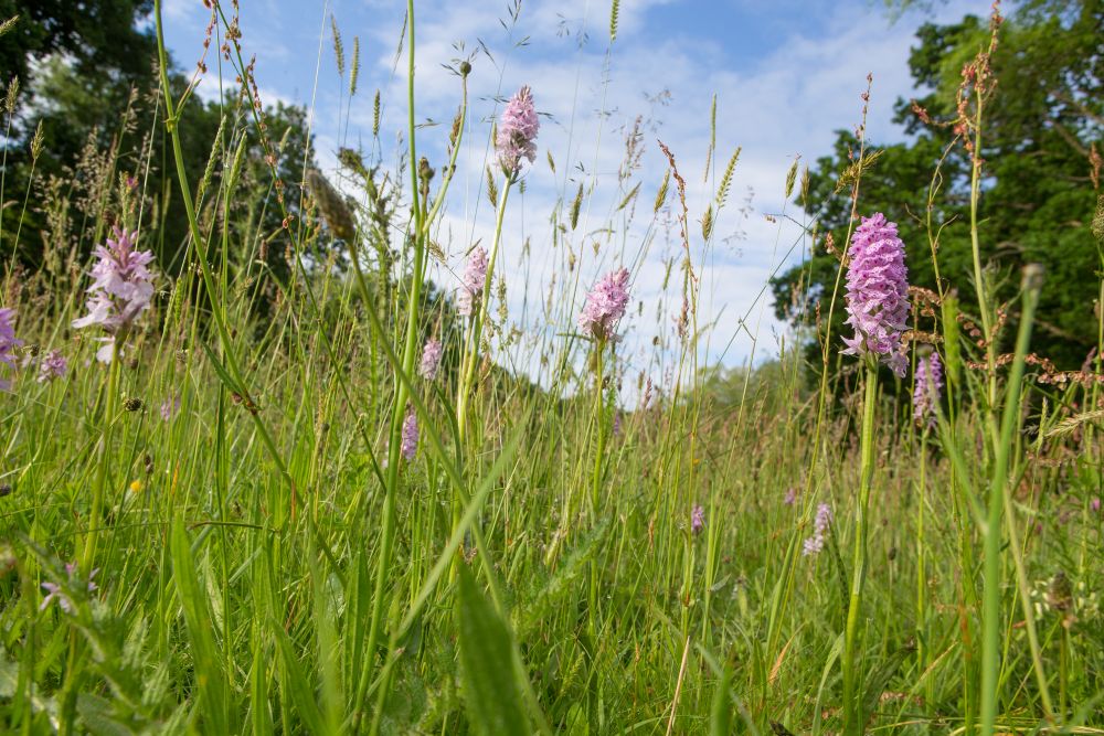
Despite these issues, the River Thet remains a valuable habitat. Water voles - an iconic and increasingly rare species - are suspected to be present along the entire length of the Thet and its associated waterways. Good quality habitat for these animals has been found during surveys.
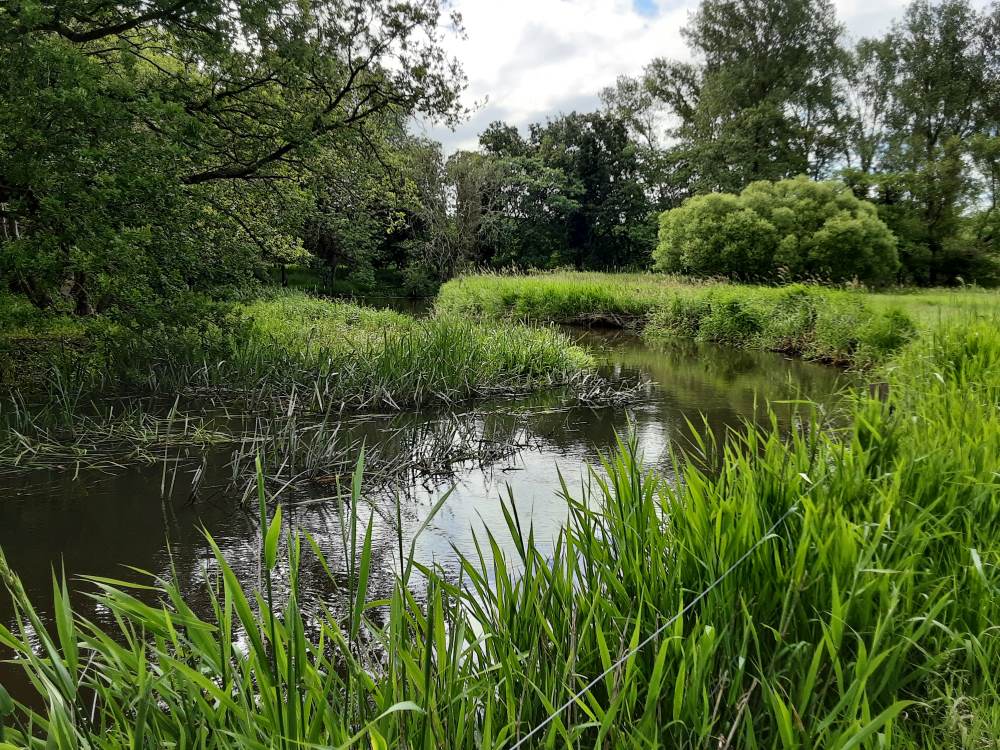
The river valley is home to unique geological features, including small, shallow pools called meres and ancient frost-related mounds known as pingos. Restoration work is underway in areas like Bridgham to bring these fascinating features back to life.