The River Little Ouse is a cherished part of Breckland, also known as the Brecks. It flows for over 60 km (about 38 miles) and begins in the beautiful Redgrave and Lopham Fen, sharing its source with the River Waveney. It is fed by several headwater tributaries, including the Botesdale Brook, the Grundle, Thelnetham Brook and Hopton Brook.

The river is a typical chalk river, mainly fed by groundwater, but it has been heavily shaped by human activity over the years. Its broad, shallow valley is home to vital wetlands, including Hinderclay Fen and Hopton Fen.
Historically, draining the land for farming led to the loss of some of these crucial wet habitats. However, local groups are now working hard to restore and protect these areas, bringing life back to the wetlands, such as through the Little Ouse Headwaters Project and the Waveney and Little Ouse Landscape Recovery pilot.
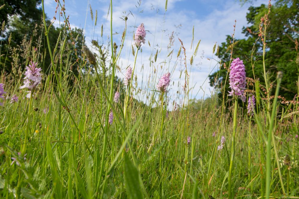
This is especially important as the Little Ouse area is home to nationally rare species that rely on these conditions, such as the Fen Raft Spider and Desmoulin’s Whorl Snail.
The mid-reaches of the Little Ouse run from Hopton Common, through historic parkland at Riddlesworth Hall, before passing through Suffolk Wildlife Trust’s Knettishall Heath Nature Reserve, an important protected area. There is a public bathing area between two weirs at Knettishall Heath.
Further downstream, it is joined by the Sapiston River/Black Bourn, and then the River Thet at Thetford. Beyond Brandon, the river becomes a navigable waterway at Brandon Lock.