The River Hun is a short, 6 km chalk stream flowing through a rural catchment from its source in Hunstanton Park towards Holme-next-the-Sea, reaching the sea beyond Holme Dune National Nature Reserve (NNR).
.JPG)
Its upper reaches are ‘winterbourne’ streams, with intermittent or absent flow in summer. These stretches are without a defined channel. Below Hunstanton Hall, the river has been modified to flow through a moat and a more permanent pond.
In the 17th century, marshy areas in the middle and lower reaches were drained, with a sluice preventing tidal inflow and the construction of sea banks and drainage ditches reshaping the landscape. Over time, the river was further modified - realigned and channelised for agriculture and, during World War 2, deepened to act as a barrier against enemy tank assaults.
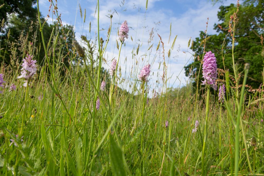
Despite being spring fed throughout its length, the river channel is straight and over deep, accumulating sediment along its course. In the lower reaches, habitat creation work has taken place by NRT to form wetlands and scrapes by diverting water from a ditch onto the floodplain. Beyond this, pools and reedbeds have developed by re-flooding old creaks near Holme Dunes and Redwell Marsh. Wildlife is plentiful in the area, with a profusion of birdlife.
A footpath runs beside the Hun from Old Hunstanton to Holme Dune NNR.
.JPG)